You are here
Glider Mission - April 2010
Submitted by Jeff Schilling on April 17, 2010 - 9:26am
 Phoebe is on her fifth mission to cover the area between the Queets River and the Grays Harbor line, with an interest in looking for hypoxic water.
Mission Date: April 16-25, 2010
► View Data
► Read Rescue Operation
April 17, 2010 - 8:30am
Location: 4652.000N, 12500.000W
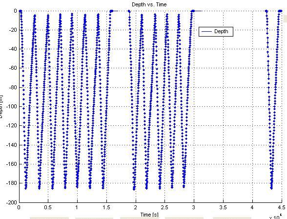
The graph shows the depth profile.
Below is the particle tracking model used to predict the direction the glider would drift. Red represents the glider GPS signals. Green represents the particle tracking forecast. Read Rescue Operation